

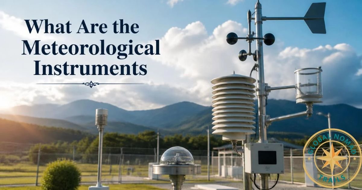
An airport weather station uses a set of sensors that measure wind, visibility, cloud height, temperature, dew point, air pressure, rain or snow, and sometimes lightning. In the United States, the two main systems are the Automated Surface Observing System (ASOS) and the Automated Weather Observing System (AWOS). Both combine these sensors into one unit. A computer then turns the readings into the reports pilots and air traffic controllers use.
This guide explains what each instrument does, where it sits, and why airports rely on it.
Quick Answer: The Main Instruments
| Instrument | What it measures | Why aviation needs it |
| Ultrasonic wind sensor | Wind speed and direction | Runway choice, crosswind limits |
| Visibility sensor | How far a person can see | Landing and takeoff minimums |
| Ceilometer | Cloud-base height | Helps determine whether pilots can fly by sight |
| Present weather sensor | Rain, snow, or no precipitation | Braking, icing, and delay planning |
| Temperature and dew point sensor | Air temperature and moisture | Fog, ice, and aircraft performance |
| Barometric pressure sensor | Air pressure | Setting aircraft altimeters |
| Precipitation gauge | Rain or melted snow amount | Runway conditions and records |
| Lightning detector (some sites) | Electrical activity | Ground crew safety |
Not every airport has every instrument. A small airfield may run a basic AWOS, while a large airport may run a fuller ASOS with extra sensors.
ASOS vs. AWOS: What Is the Difference?
Both are automated airport weather stations. In the United States, the FAA and the National Weather Service run ASOS at many larger airports. AWOS units are more common at smaller airports. AWOS comes in versions that add parameters step by step, so AWOS II, for example, adds visibility to the basic set.
For a traveler or student, the practical point is simple. Both systems rely on similar sensors, and both feed the same type of report, called a METAR.
Airport weather stations use automated systems to measure important weather conditions, including wind speed, visibility, cloud height, and temperature. These observations help pilots and air traffic controllers make informed decisions about flight safety. According to the National Weather Service’s ASOS FAQ, the Automated Surface Observing System (ASOS) provides essential weather observations for aviation and weather forecasting.
The Instruments, One by One
1. Wind Sensor
An airport wind sensor tells pilots which way and how hard the wind blows. NWS and FAA ASOS stations, and most new AWOS installations, now use ultrasonic wind sensors.
These sensors send sound pulses between fixed points. Wind changes how fast the sound travels, and the system turns that change into speed and direction. Older stations used a spinning cup anemometer and a wind vane. Ultrasonic units have no moving parts, which helps in ice and snow.
Wind data matters most at takeoff and landing. A strong crosswind can limit which runway an airport uses.
2. Visibility Sensor
Visibility is one of the most important readings at an airport and also one of the easiest to misread. An AWOS visibility sensor reports a measurement taken at one spot, so it cannot describe visibility along a plane’s whole path.
Most modern sensors use forward-scatter technology. A light source sends a beam into a small patch of air. The sensor measures how much light fog, mist, rain, or snow scatters back toward a receiver. More scatter means lower visibility.
Larger airports may also use transmissometers to calculate Runway Visual Range (RVR). RVR gives a measure of visibility from a pilot’s point of view along the runway.
A small maintenance detail shows how sensitive these devices are. One state aviation guide notes that spider webs on a visibility sensor can make the reading drop sharply. Airport staff check the unit when a reading does not match what they see outside.
3. Ceilometer
A ceilometer finds the height of the cloud base. Automated stations use an upward-pointing laser for this job. The laser sends short pulses upward. The instrument times the light that bounces back from the cloud and converts that time into height.
Two details are worth knowing:
- The ceilometer measures cloud height directly above the sensor. Clouds elsewhere around the airport may differ.
- In one AWOS example, the laser reaches up to 25,000 feet above ground, and the system averages readings over 30 minutes to set the cloud ceiling. Ceiling reports can therefore lag behind fast-changing skies.
The ceiling decides whether pilots can rely on sight or must follow instrument procedures.
4. Present Weather Sensor
This sensor identifies what is falling from the sky. ASOS uses a Light Emitting Diode Weather Identifier (LEDWI) to detect whether precipitation is falling and what type. An AWOS present weather sensor can tell apart seven types of precipitation.
Rain, snow, and freezing precipitation affect runway friction, de-icing needs, and delays. Some stations add a separate freezing rain sensor.
5. Temperature and Dew Point Sensor
A hygrothermometer measures air temperature and moisture. It runs continuously and normally stays on except during maintenance.
The dew point is the temperature at which air becomes saturated. When the air temperature and dew point are close, fog or low cloud becomes more likely. Pilots watch that gap closely.
The humidity technology differs by system. Current AWOS systems use capacitive relative humidity sensors and calculate dew point from them. NWS ASOS units use Vaisala’s DTS1 sensor, which measures humidity only.
6. Barometric Pressure Sensor
Pressure sensors measure the weight of the air above the station. Pilots use this reading to set the altimeter, the cockpit instrument that shows height. A wrong setting means a wrong altitude reading, so airports treat pressure data as critical. Stations commonly use more than one pressure sensor to catch faults, though the exact setup varies by system.
7. Precipitation Gauge
The original device for measuring accumulation at automated airport stations was the heated tipping bucket. Each time the bucket fills with a set amount of water, it tips and records one count. The heater melts snow and ice so the gauge keeps working in winter.
8. Lightning and Thunderstorm Detection
Some stations include a thunderstorm sensor. One AWOS design detects changes in the local electric field to identify lightning strikes. Ground crews use lightning alerts to decide when to pause outdoor work.
How the Data Reaches Pilots and Travelers

The sensors send readings to a central computer. The computer checks and combines them, then produces several outputs:
- METAR reports, a standard coded weather message for aviation
- Voice broadcasts that pilots hear by radio
- Displays in airport buildings and control facilities
- Online feeds that anyone can view
AWOS data flows into the METAR and also goes to displays at the airport and to online outlets.
Travelers can use this too. Many aviation weather websites show the METAR for a specific airport, which can hint at fog, strong wind, or storms before a flight. Before departure, review this alongside your essential travel checklist and flight booking tips.
Why Airports Place Sensors Where They Do
Sensor location changes what the reading means. Each ASOS site goes through a survey so the visibility sensor sits in the right spot, and some airports add a second visibility sensor where local weather affects one runway.
This is why two airports in the same city can report different conditions. Fog may sit over a river valley at one field while the other stays clear. Checking local conditions is also one of the practical habits covered in our guide to unique travel tips.
Limits Worth Knowing
- Point measurements. Each sensor reports conditions at its own location, not across the whole airport.
- Averaging. AWOS reports an average of what has already happened, not a forecast.
- No obscuration sensor. Automated airport stations do not have a separate sensor for specific obstructions to vision.
- Human backup. Some airports still add trained observers or other tools for complex weather.
Frequently Asked Questions
What are the instruments used in a weather station?
Weather stations use thermometers, barometers, anemometers, wind vanes, rain gauges, and hygrometers to measure temperature, pressure, wind, rainfall, and humidity.
What are the 7 weather instruments?
The seven common weather instruments are a thermometer, barometer, hygrometer, rain gauge, anemometer, wind vane, and weather balloon.
What are 5 tools meteorologists use?
Meteorologists commonly use thermometers, barometers, anemometers, rain gauges, and hygrometers to monitor weather conditions.
What are the 10 weather instruments?
Ten weather instruments include a thermometer, barometer, hygrometer, rain gauge, anemometer, wind vane, weather balloon, weather radar, pyranometer, and ceilometer.
What are 18 types of weather instruments and what are their uses?
These include thermometers, barometers, hygrometers, rain gauges, anemometers, wind vanes, weather balloons, radar, ceilometers, pyranometers, radiosondes, and other tools used to measure temperature, pressure, wind, rainfall, visibility, and atmospheric conditions.
Conclusion
Airport weather stations use specialized What Are the Meteorological Instruments to monitor wind speed, visibility, cloud height, temperature, air pressure, and precipitation. Systems such as ASOS and AWOS collect this information to help pilots and air traffic controllers make safer decisions. Understanding these weather instruments also helps travelers learn how changing weather conditions can affect flights, delays, and overall aviation safety.